
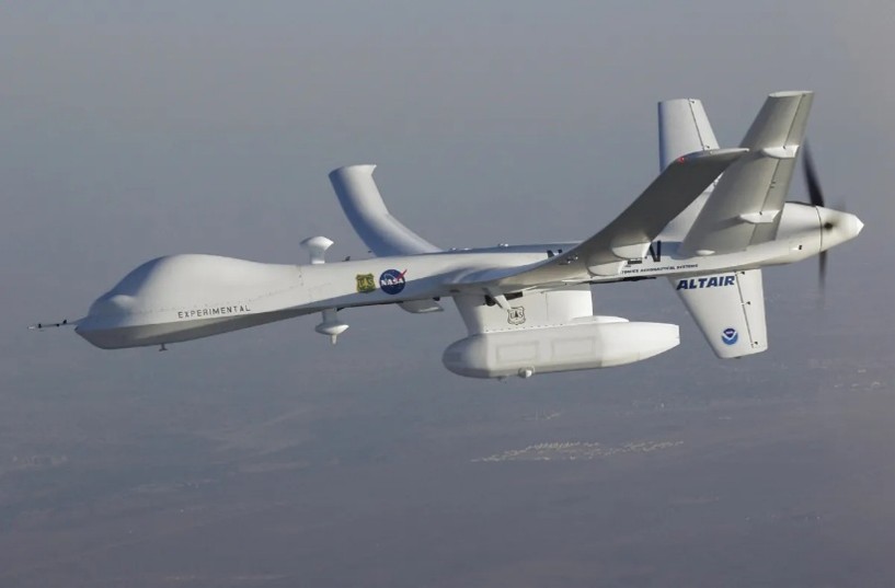
NASA’s Dryden (now Armstrong) Flight Research Center in Edwards, California, partnered with General Atomics Aeronautical Systems Inc. (GA-ASI) in the early 2000s to demonstrate technologies to expand the capabilities of remotely operated aircraft to perform high-altitude Earth science missions. To accomplish the task, GA-ASI developed an enlarged version of its Predator A reconnaissance aircraft, the Predator B, including an extended-wingspan Altair version for NASA.
(With a high-tech infrared imaging sensor in its underbelly pod, the Altair UAS flew repeated passes over the Esperanza wildfire to aid firefighting efforts. General Atomics Aeronautical Systems Inc.)